Extent
This section describes the “Extent” controls for plotting.
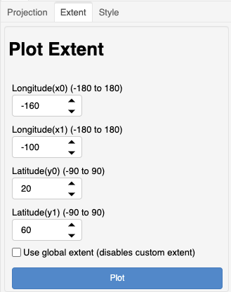
The extent controls only work in degrees (at the moment). The plot extent can be defined using the longitude and latitude controls or by checking the box to use a global extent.
These extents are set by the cartopy geoaxes object by calling set_extent(x0, x1, y0, y1). When the global extent selected, the set_global() method is used.
See: geoaxes